

The Banni grasslands in the Rann of Kutch hides many treasures, such as Dholavira, an excavation of a city of the Harappan civilisation. ‘The Banni and Rann of Kutch are one-of-a-kind landscapes which transform over seasons. Banni grasslands offer a dual ecosystem to several birds and animals, changing from a dry grassland to marshy wetland. The Rann of Kutch is an expansive white salt desert, which transforms into a thriving saline wetland post-monsoon’ (Smritivan, Museum on Earthquake, Bhuj).

For some reason the way to the Dholavira site is called the ‘Road to Heaven’. About a decade ago when we visited this site it was a road in the middle of nowhere with what looked like pure white snow on both sides. Yes, the road to heaven. Today with the large mass of tourists being promoted by the Rann Utsav (festival) it no longer looks so pristine.


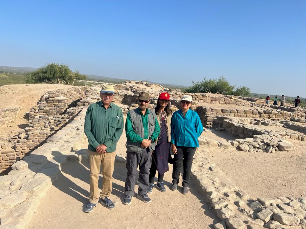
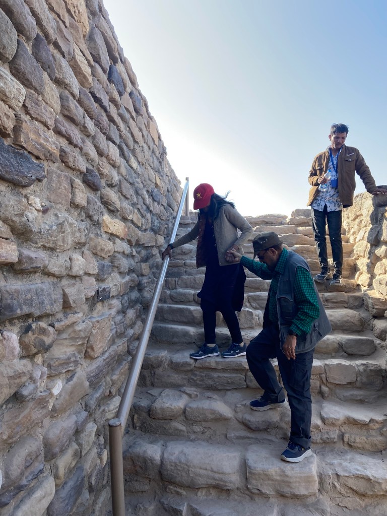
We had visited Dholavira a decade ago. It was a dilapidated excavation site with no sign boards or any other trappings of tourism. Since 2021 the government has been promoting tourism and this site has developed well with proper signage (which I have taken full advantage of) and a number of tourist guides. We hired one of the tourist guides to get a better understanding of the very large site of Dholavira.
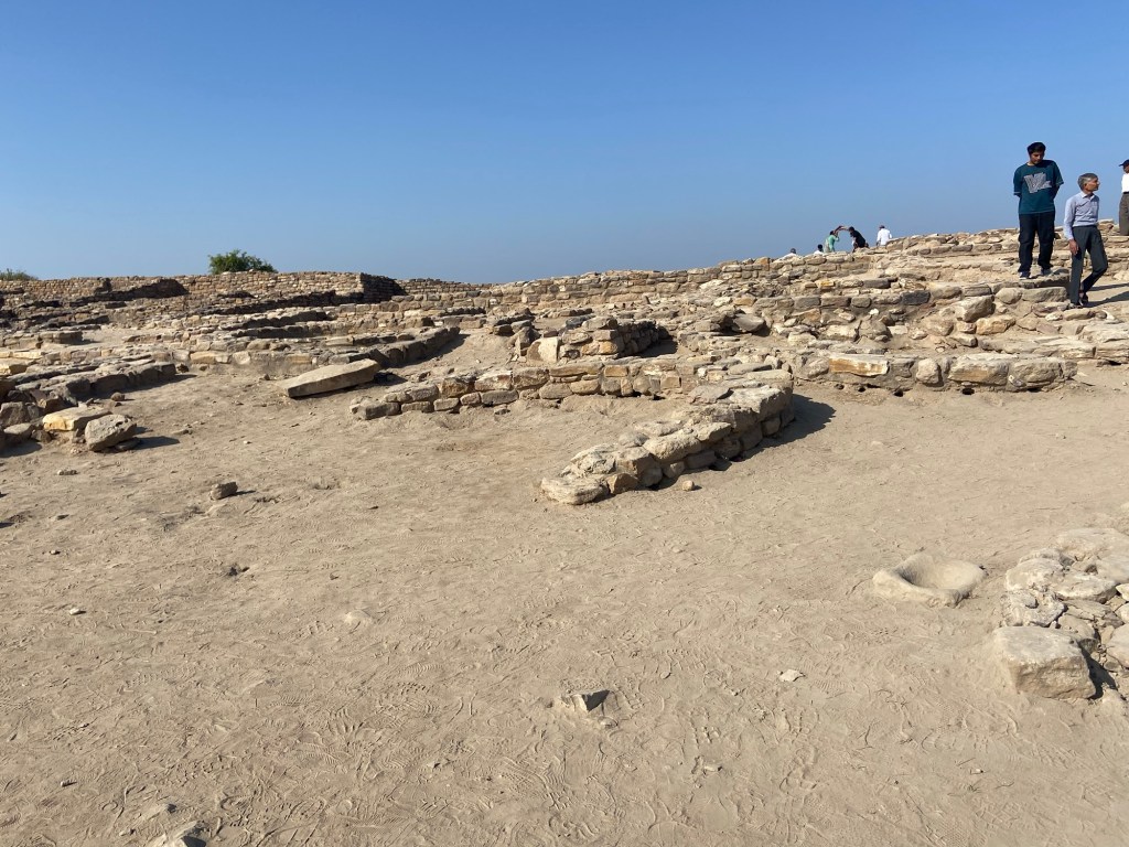
‘Dholavira was configured as a well-planned city, consisting of three divisions, named as, Citadel (further sub-divided into Castle and Bailey), Middle Town and Lower Town. The settlement was initially a small fortified town around 3000 BCE, which later grew to its fullest configuration around 2600 BCE.’ (Dholavira site). As you can imagine the rich lived on the highest ground called the Citadel, their immediate service workers lived close, in the Bailey. The rest of the population lived according to their status in the Middle or Lower Town.

As we entered the site we saw the East Reservoir, located to the east of Castle. It was ‘found to be the largest, grandest and best-furnished reservoir. It is rectangular in shape, measuring 73.50 m north-south, running parallel to eastern arm of Castle with a depth of 7.50 m. At three corners (NW, NE, & SW), it was provided with a flight of 30 steps each. Inside this reservoir, there a rock-cut well with a few rock cut steps and a stone made enclosure. This step-well could be the earliest of its kind in south Asia.’ (Dholavira site).
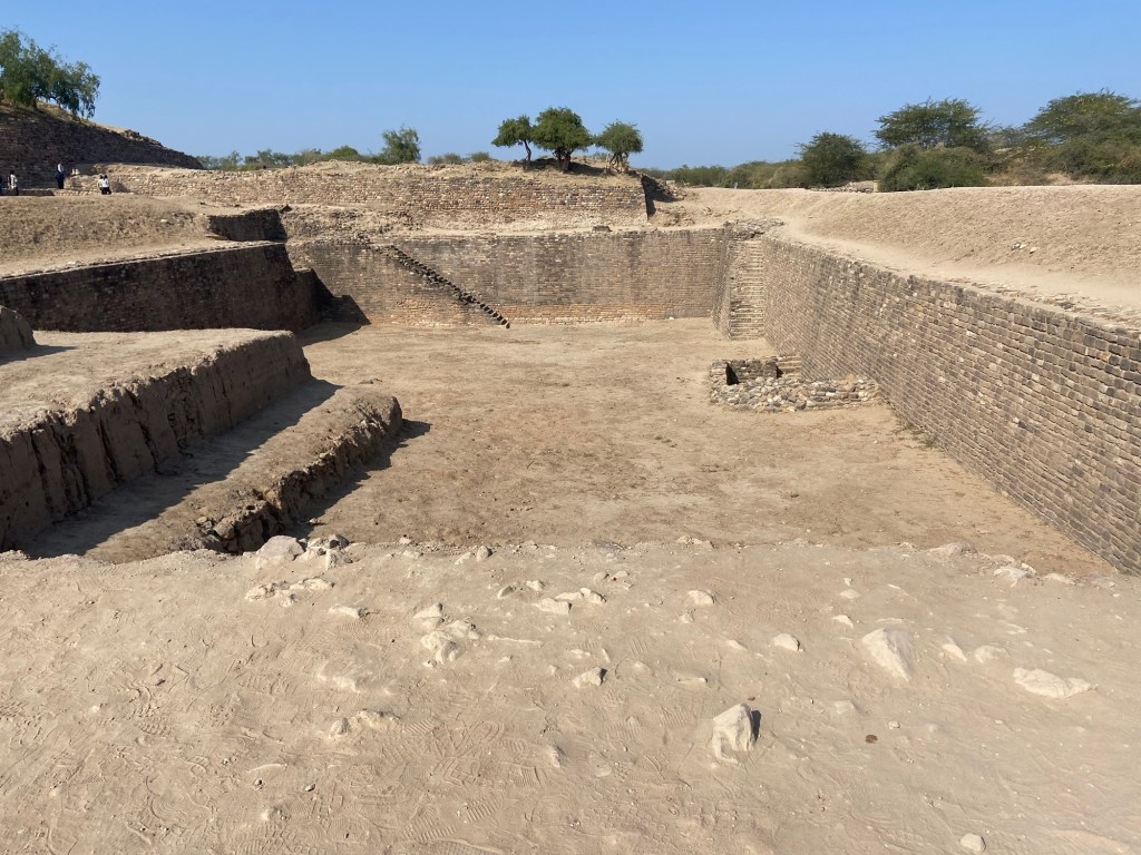
Our guide took us around the site to the south side where the South Reservoirs were a ‘series of five reservoirs of varying sizes and orientations. These reservoirs were partly rock-cut and partly constructed. The first two reservoirs were planned to settle the silt and let clear water into the third reservoir, which was centrally located and exhibit genuine rock cut architecture. It was connected with the Citadel through the South Gate. This reservoir was at least three times larger than the Great Bath of Mohenjo-daro. The undulating rock surface was compensated with beautifully finished stone blocks with wafer thin joints’ (Dholavira site).

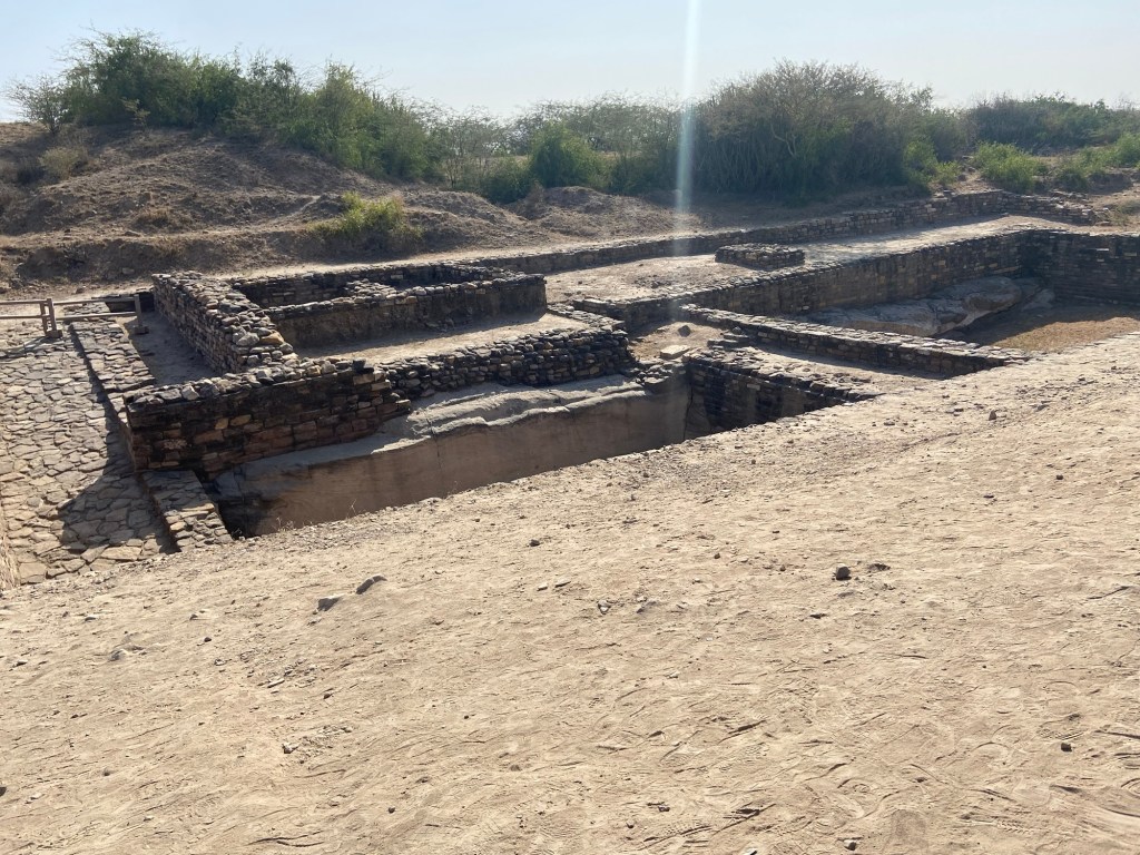

‘The fourth reservoir had provision of a ramp indicating the drawing of water using wheeled carriages. All the reservoirs were interconnected with drain channeling water from one to other. The surplus water finally flowed out through a masonry drain into another series of reservoirs further west.’ (Dholavira site).
‘Granary: The remains of four square shaped structures, were found from excavations at the south-east corner of Bailey. They are identified for storage purposes. It has four parallel chambers made up of local sandstone and having depth of about four meters. This granary might have been used by the inhabitants living in the Citadel’ (Dholavira site).
A major trade at that time was in Beads of various colours. The service workers who lived in the Bailey also worked in the Bead Factories located near the west gate of the citadel.
As we entered the citadel through the West gate we saw a room and a stone with grooves cut on the sides. This was used to build the walls by creating a grid of stones that remained tightly held together. Dholavira had an amazing system of water storage. There was a well and a shower room with inlet and outlet for the water to ensure minimum use of water.


East Gate was majestic ‘with a built-in chamber, a sunken passageway, and rising stairs connecting onto the interior of the castle. This gate has well preserved with banded limestone pillar in their original location. These pillar elements were quarried from an ancient quarry site of banded limestone and buff limestone around 2 to 3 kilometres from Dholavira.’


Outside the East Gate was the Ceremonial Ground ‘strategically located on the eastern wall of the stadium and south of Middle Town. This gate served as an important entry point, guarding ground, clearly indicating its prominence and importance’ (Dholavira site). And so ended our remarkable visit to the ancient Harappan city of Dholavira!

Nice and useful blog, Jeemol; Kumari and I will be visiting this place with a group of friends.
LikeLike